|
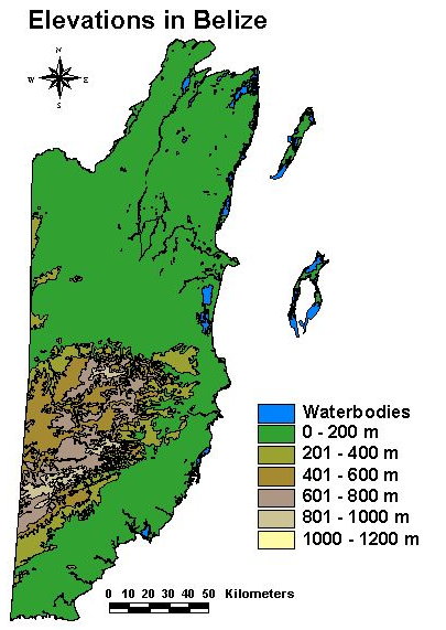
Compared to other Central American Countries,
Belize is of only low elevation. The highest point is Doyles
delight in the Southern Maya Mountains with a height of
1124 m (3687'). Previously it was thought that the Victoria
Peak north of the Cockscomb basin was the highest (1120
m, 3675').
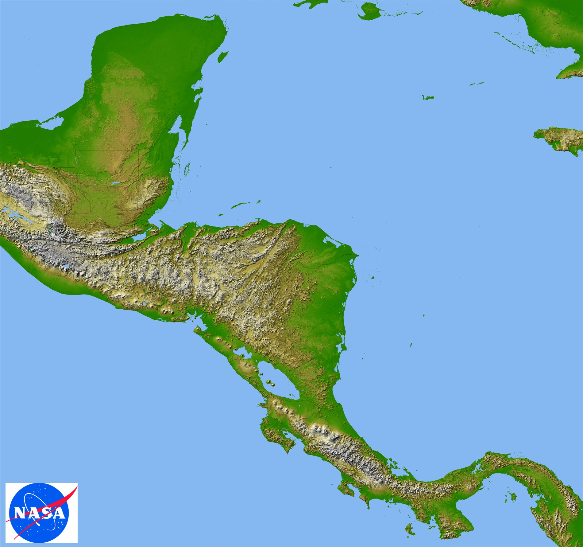
The picture to the left is a browse shaded
relief image of Belize created from Shuttle Radar Topography
Mission (SRTM) data by NASA and gives a good impression
of the landscape. Click on the image to see all of Central
America (beware: large file; 417 kb).
The picture to the right was generated using
GIS software and indicates the 200 m (656') contour lines.
Click for a larger image.
About
Belize|Administrative|Publications|Species
List|Projects|Links|HOME
|